

NORTHING
by Creed O’Hanlon
It is not down in any map; true places never are.
Herman Melville, Moby-Dick
Muckle Flugga: 60° 51.3’N, 00° 53’W Sunset in summer, in the high latitudes of theShetland Isles, is an uncertain hour the locals call “Simmer Dim”. The sun touches the horizon at around 11pm, and as its lower edge is drawn into the bleak, gunmetal oiliness of the
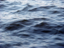
The light dims, but if the moon is full, the stubborn gloaming refuses to surrender to darkness. A couple of hours later, the sun will rise again, although on many days it will creep above the horizon unseen, shrouded by leaden stratus clouds that descend with the deep depressions that track north-eastwards across the Atlantic to rile the fast, south-going current of the North Atlantic Drift.
We had set off three days earlier from
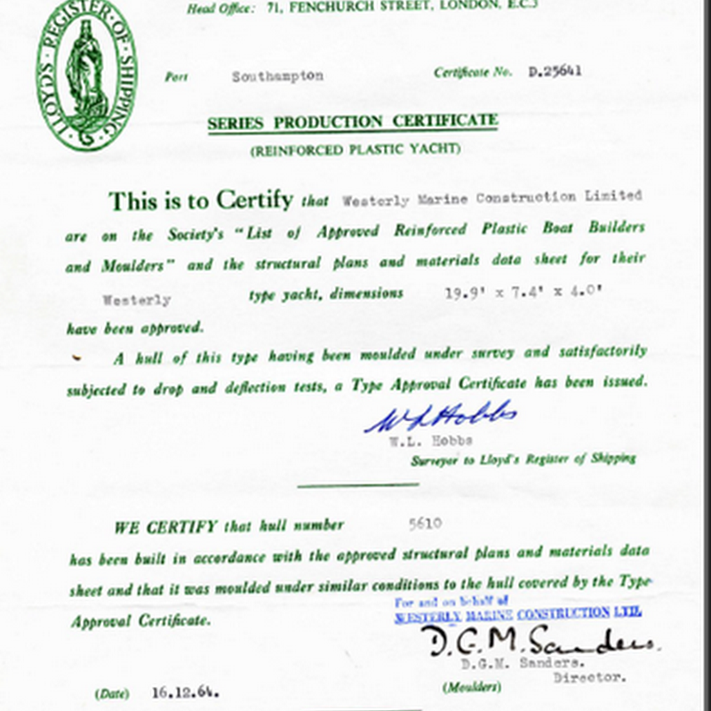
Isles – my friend, Michael Moulin, and I, aboard a fragile 7.5-metre yacht more suited to inshore day sailing
than the long sea passages that were necessary to get as far as the Western Isles, let alone the Shetlands. We
had weighed anchor at dusk and drifted from the lee of the high stone walls of Caisteal Chiosmuil (
bay. Then we reached under full sail through the narrow, rock-strewn channel between Barraigh and the
southern
towards St Kilda, the grim shark tooth of barren, uninhabited peaks and rocky skerries that forms the
westernmost island group of
Our course was plotted in the wake of Viking longships that made their escape through these waters from raiding parties to
We had made our landfall off Gloup Holm, a small island off the north-west corner of Yell, one of the larger Shetland Isles. We had drifted a little further eastwards than we had planned. Two nights before, we had been forced to reef – and later, to hand – our sails in a rising south-westerly wind that veered westerly as we rounded St Kilda and became a severe gale. The steep following seas gained height and power as they rolled in without obstruction from the
Now the wind had dropped. The grim scud had dissipated and the swell, tinged a muddy brown by the churned-up detritus of the sea bottom and run-off from the shore, was a long, gently undulating lope. In a dying breeze, we closed the cliffs of Herma Ness to round the rocky outcrops of Muckle Flugga and the Outer Stacks. Atlantic puffins, clown-like birds with unlikely white and black heads, orange and black striped beaks and squat, rotund black bodies that even penguins would find ungainly, bobbed at the edge of deeply serrated skerries atop which otherpuffins protected nests, each containing just one precious egg, from predatory gannets and guillemots.
Sixty metres above the rookeries, on a lump of black rock too small to be called an island, loomed the Muckle Flugga lighthouse – a whitewashed stone tower, the only man-made structure on that line of longitude between the top of the


No comments:
Post a Comment